
Hurricane Erin Intensifies to Category 4 Storm in Caribbean
World | 8/16/2025
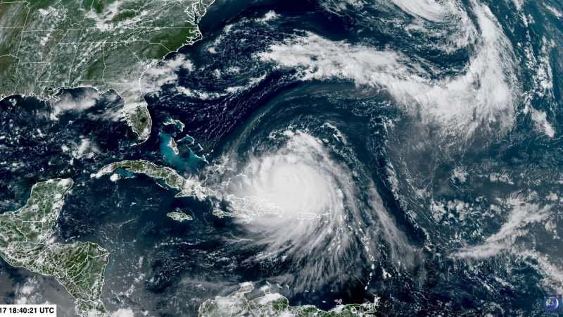
Hurricane Erin has swiftly escalated to a Category 4 storm as it advances across the northeastern Caribbean region. The intensification of Erin has heightened concerns as it generates turbulent sea conditions and delivers heavy rainfall and strong winds to islands located south of its projected trajectory.
“Erin’s rapid intensification to a Category 4 hurricane underscores the need for heightened vigilance and preparedness among communities in its potential path,” a meteorological expert commented on the unprecedented escalation of the storm. The significant increase in Erin’s strength has prompted authorities to issue warnings and advisories to residents and authorities in vulnerable areas.
Historically, hurricanes reaching Category 4 status are characterized by sustained winds ranging from 130 to 156 mph, posing severe risks to infrastructure, public safety, and the natural environment. The progression of Erin to this level of intensity underscores the potential for widespread impact and necessitates proactive measures to mitigate potential damages.
While the storm’s exact trajectory remains subject to change, meteorologists are closely monitoring Erin’s movements and providing regular updates to ensure accurate forecasting. The intensification of Hurricane Erin serves as a stark reminder of the unpredictable nature of tropical storms and the importance of readiness and response strategies in vulnerable regions.
As Hurricane Erin continues to gain strength and pose risks to the Caribbean region, authorities and residents are urged to stay informed, follow safety guidelines, and take necessary precautions to safeguard lives and property. The evolving situation underscores the critical role of preparedness and coordinated response efforts in mitigating the impact of severe weather events.
Related Posts
World | August 18, 2025
Hurricane Erin Intensifies to Category 4: Threat to US East Coast and Bermuda
Stay informed about Hurricane Erin's rapid intensification and potential impact on coastal communities as it approaches the US East Coast and Bermuda.
Opinion | July 30, 2025
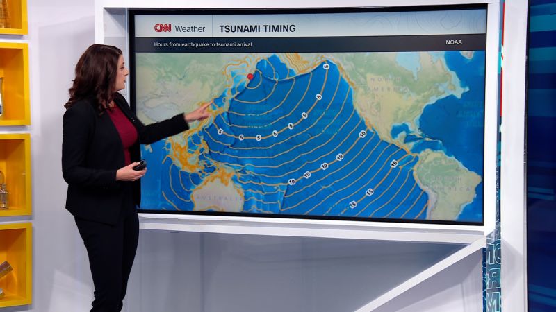
Experts Warn of Potential Tsunami Waves and Devastating Consequences
Discussions around the possibility of tsunami waves hitting coastal regions are gaining traction, highlighting the critical need for preparedness and early warning systems.
World | July 30, 2025
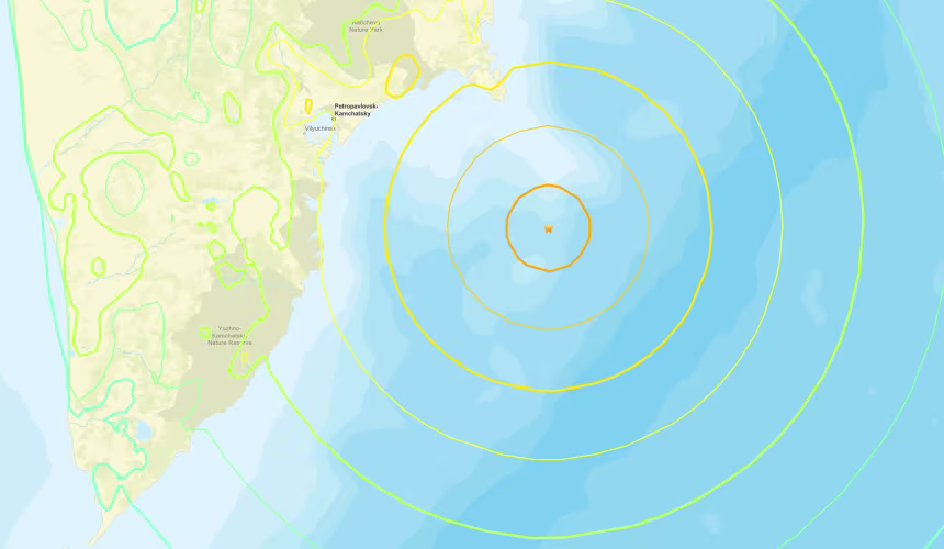
Magnitude 8.0 Earthquake Strikes East Coast of Russia, Tsunami Advisories Issued
An 8.0 magnitude earthquake off the east coast of Russia prompts tsunami advisories in the region. Authorities urge preparedness and caution.